
The Alay mountain range is one of my favorite mountain ranges for trekking. The nature is absolutely stunning, with a lot of variety. The locals make the journey even more interesting, there is not only nature to explore, but also a culture. I would highly recommend the Alay mountain range to anybody who loves a good adventure, although some of the treks can be quite demanding because of the altitude and terrain.
A word of caution
Before you go and start exploring the beautiful nature in Kyrgyzstan, always make sure to be well prepared.
Also, my opinions are only personal, if I claim that I found a trail not technical difficult doesn’t mean that everybody will find it not difficult. Always do proper research and don’t rely on a single source.
In terms of safety, I would highly recommend bringing a satelite phone or personal locator beacon if you go to more remote areas (heights of the alay for example). We carried the Garmin inreach mini 2, which we were really happy about. However, if I would buy a new device today I would probably go with the newer Garmin Messenger and use my phone for navigation.
Of course, you should also bring proper gear, especially bringing good hiking boots is very important.
List of the most popular treks in the alay mountains
Heights of the Alay
6 day trek
Max elevation: 4306m
Min elevation: 2186m
Distance: 90km
Season: June – Early september
Total Gain/Loss: 4435 m+ / 4827 m-
Start/End Point: Sary Mogul village
Trail description
To reach the start of the trail, it’s highly recommended to arrange transport (4×4) beforehand. It took us 50 minutes to actually reach the start of the trail by car (the car can’t go really fast here, but still, it would be a very long walk). If you intend to walk starting from Sary Mogul, you will not be able to go over the pass on the same day (on a “normal” hiking day). However, there did seem possibilities to camp before passing the Sary Mogul pass (at 4000 m or so).
Just so you know, combining “heights of the alay” with the “Travelers pass” hike is called “Best of the alay”.
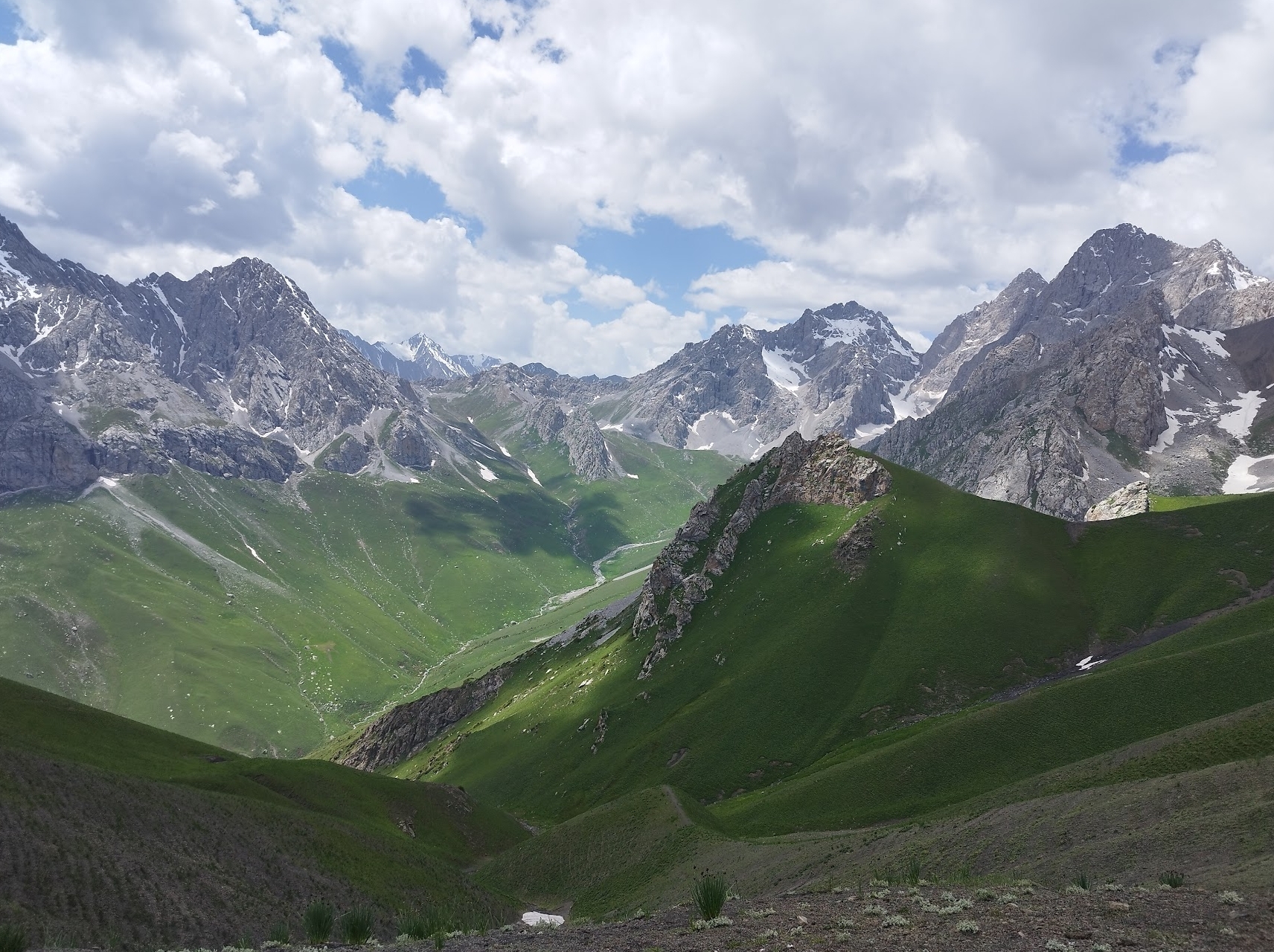
The heights of the Alay is one of the most epic hikes we have ever done. The views are very spectacular, the scenery is incredibly variable and the people are extremely friendly.
I will let the photo’s (and video) speak for themselves, as it’s always hard to describe those views. However, even photos don’t capture the feeling you get when standing at a peak, pass and witnessing these views with your own eyes.
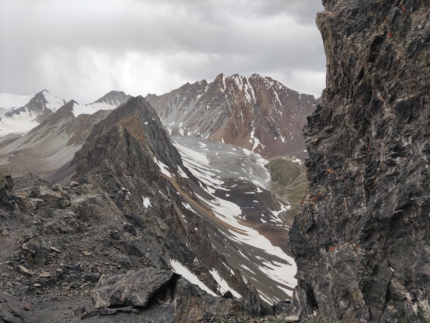
We started with the hardest part, which is almost the most beautiful part: the Sary Mogul pass.
The hike up is quite demanding, not only do you climb quite a bit on this day, it’s also the first day when we go up to very high altitudes (at least for our standards). The Sary Mogul pass officially finds itself at a height of 4306m.
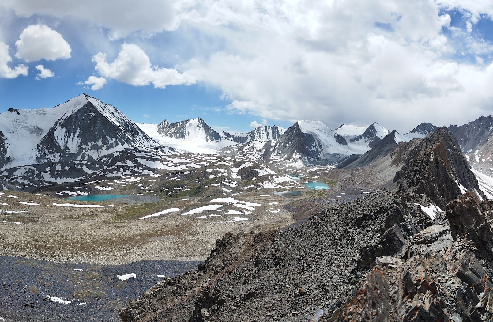
Even though this trail has a lot of variety and a lot of beautiful places/passes, I have to agree with almost every other hiker’s opinion: the Sary Mogul pass is the most beautiful part of the trek.
Some people like to keep this for the last day and do the trail in the different direction. I get it, but somehow I still prefer to do, it’s the hardest hiking day. Also, the only dangerous part of the entire pass is right at the top of the pass. It’s not incredibly dangerous, but I would be lying if I claimed that I was comfortably climbing those last meters. Going down on the other side was even more sketchy, lots of scree and the trail is steep. As usual, just take your time and make good use of your trekking poles (I highly recommend trekking poles).
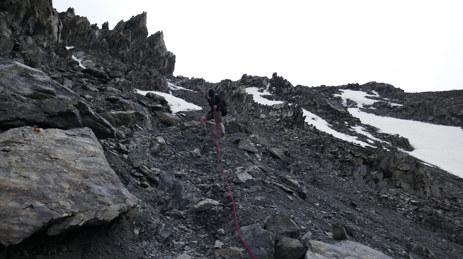
There was a rope when we did the descent, but apparently this rope usually isn’t there. I didn’t make use of it anyway because I prefer to fully rely on my trekking poles, but my friend found it pretty helpful.
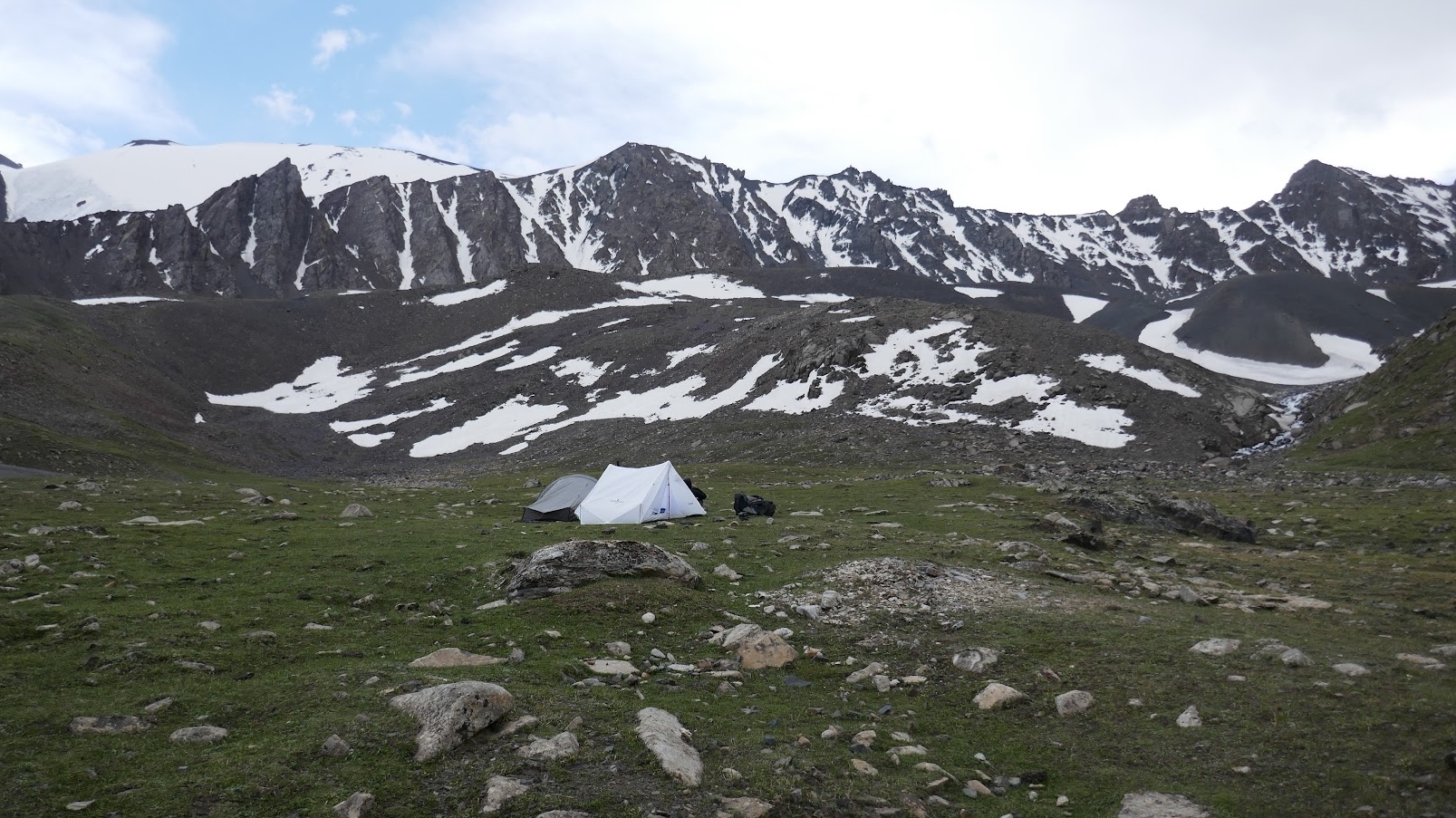
When you are done with the sketchy descent, you still have to pass the river, which also wasn’t very easy. However, after that, the difficult stuff is done for the day. We decided to camp at the first piece of flat grass we came across, which was a fine camping place:
The next day, the field was filled with yaks.
If you want to stay in a Yurt, you have to keep walking for an hour longer.
The next day starts with a long descent into greener areas.
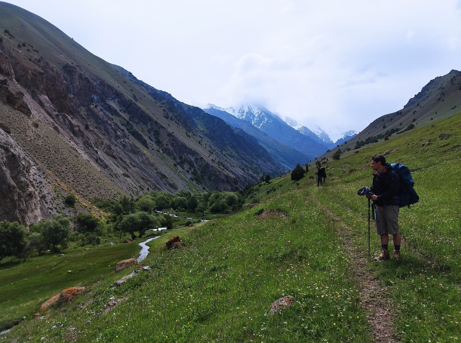
Until we finally reach a town called Kyzyl Shoro. You can have a meal here at the CBT homestay. You should arrive around noon, so this might be a good place for lunch.
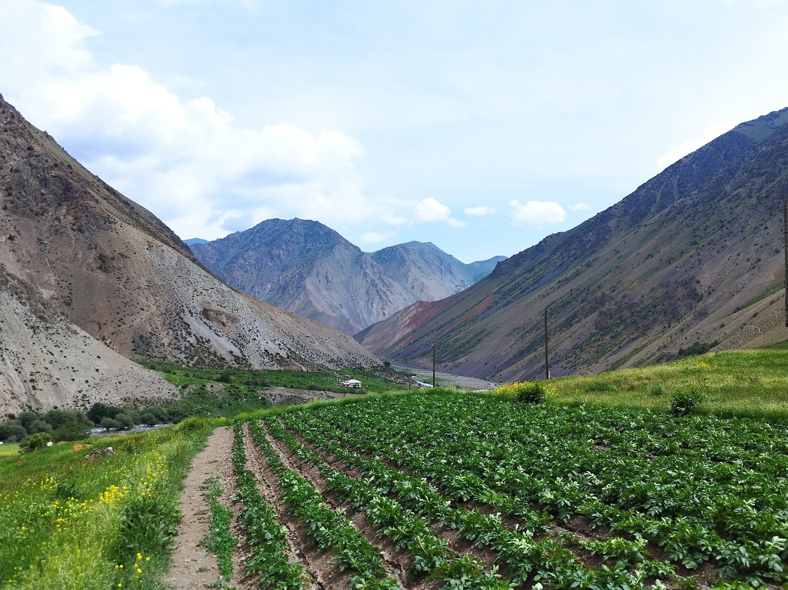
We still have a pretty long climb ahead of us, so we don’t stay too long at the restaurant (even though it’s tempting to go for a quick nap).
When going up, the scenery changes once again into a more brownish/sandy environment.
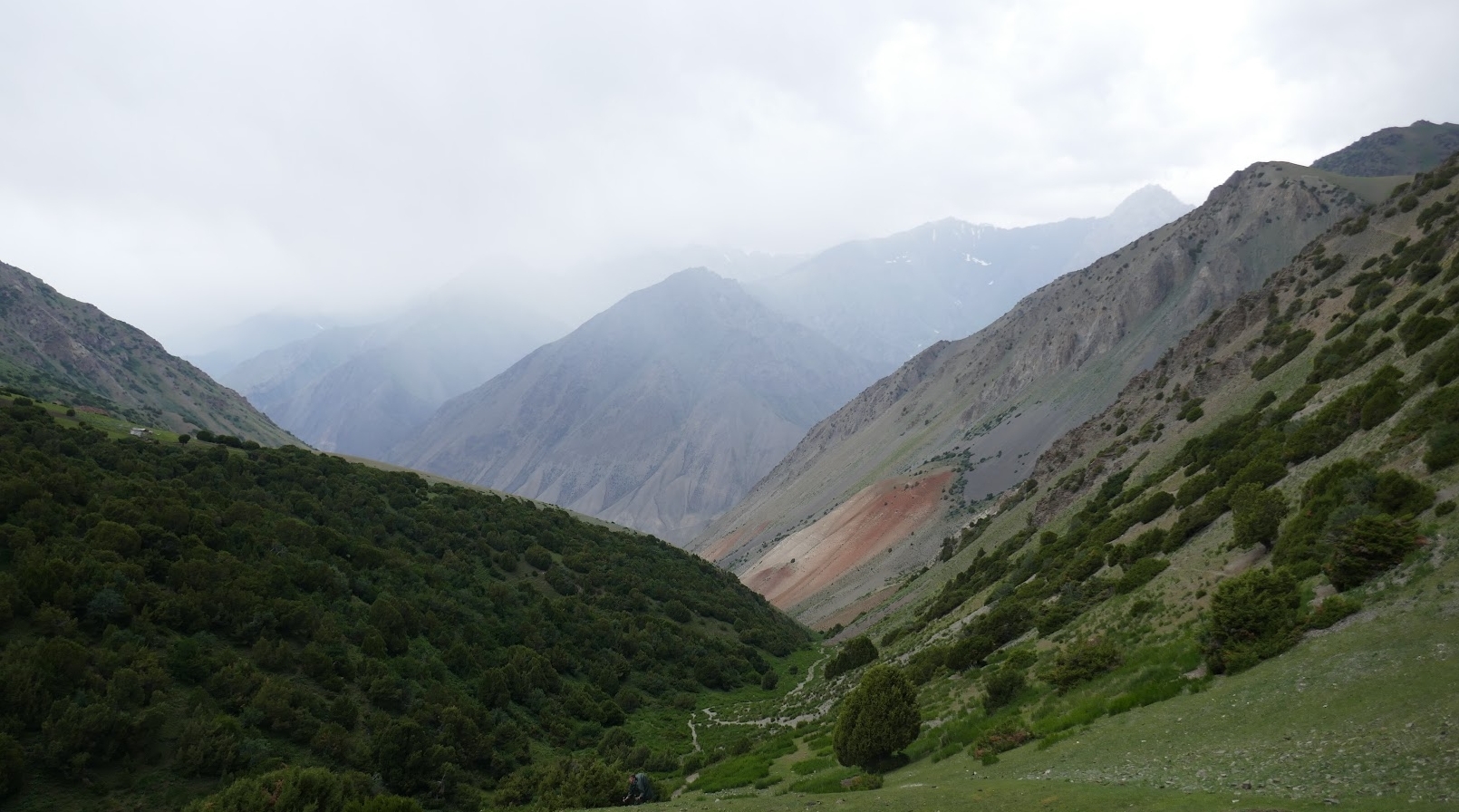
At the other side of the mountain, we decide to stay in the Yurt camp. The Yurts that are aimed towards tourists are full, but we get to stay in one of the family’s own Yurts. This experience was really nice, as it felt more authentic than staying in a Yurt that’s aimed towards tourists.
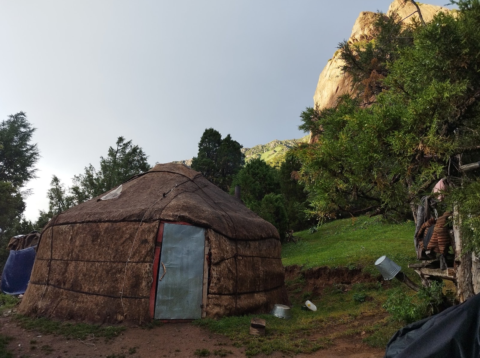
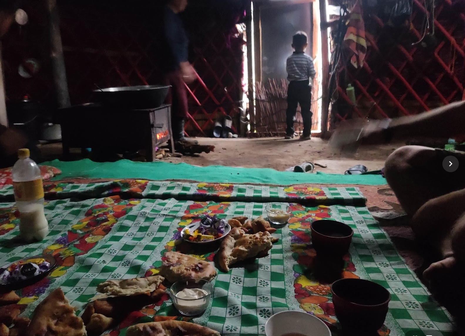
Keep in mind that if you don’t make reservations, you can never be sure that there is room in the Yurts/guesthouses. However, making reservations can only be done through CBT Osh and they will ask for double the price of what you would normally pay (a pretty high price for simply letting them send a single message in my opinion). However, if you don’t carry a tent, you don’t have much of a choice. PS. I wrote a full review about CBT Osh.
After a good night sleep, we are ready for the next climb, it’s only 400m to start with.
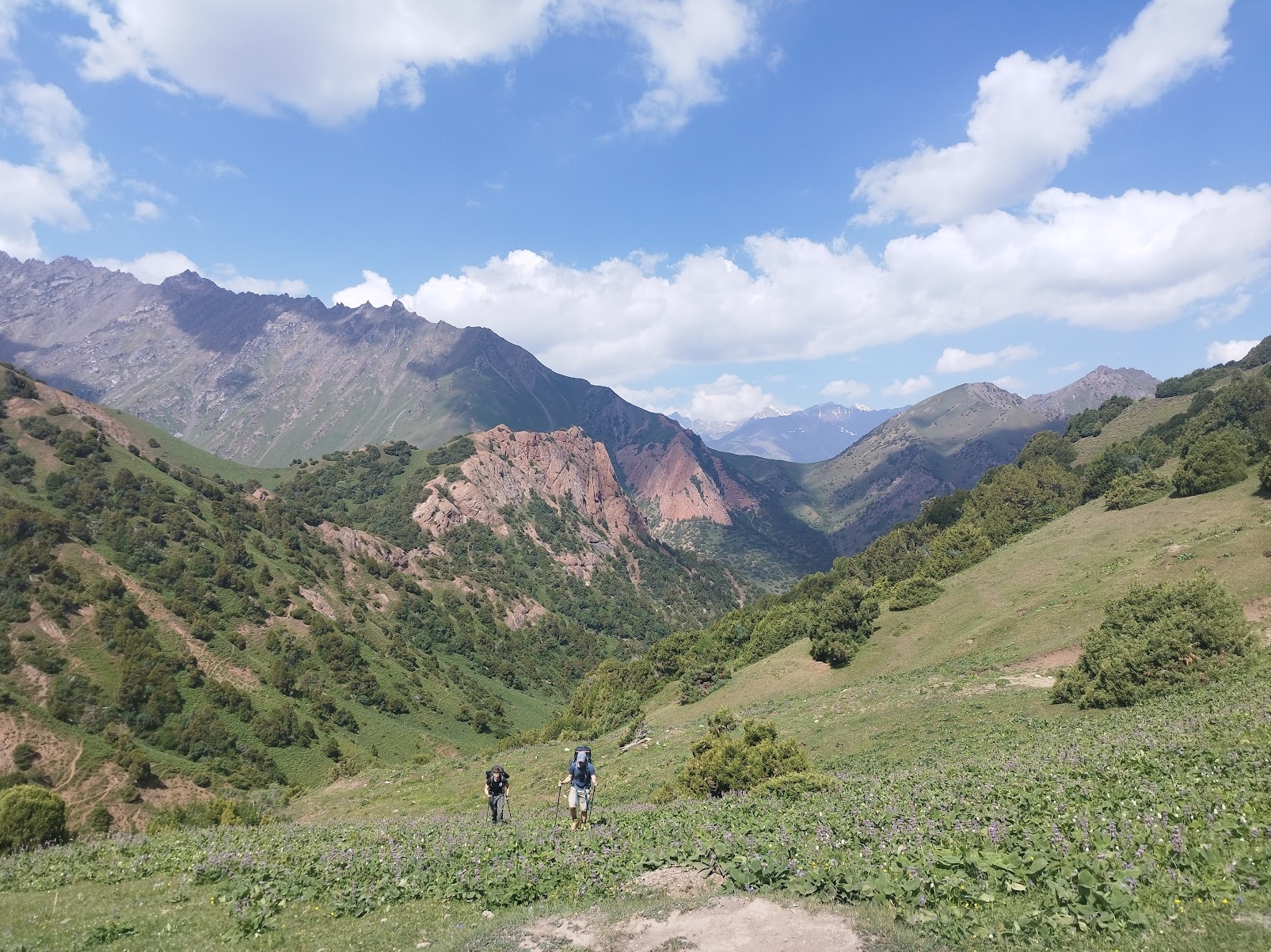
After this, the trail is mainly flat, followed by a descent. Make sure to keep your eyes open as we pass some impressive rock strucutres.
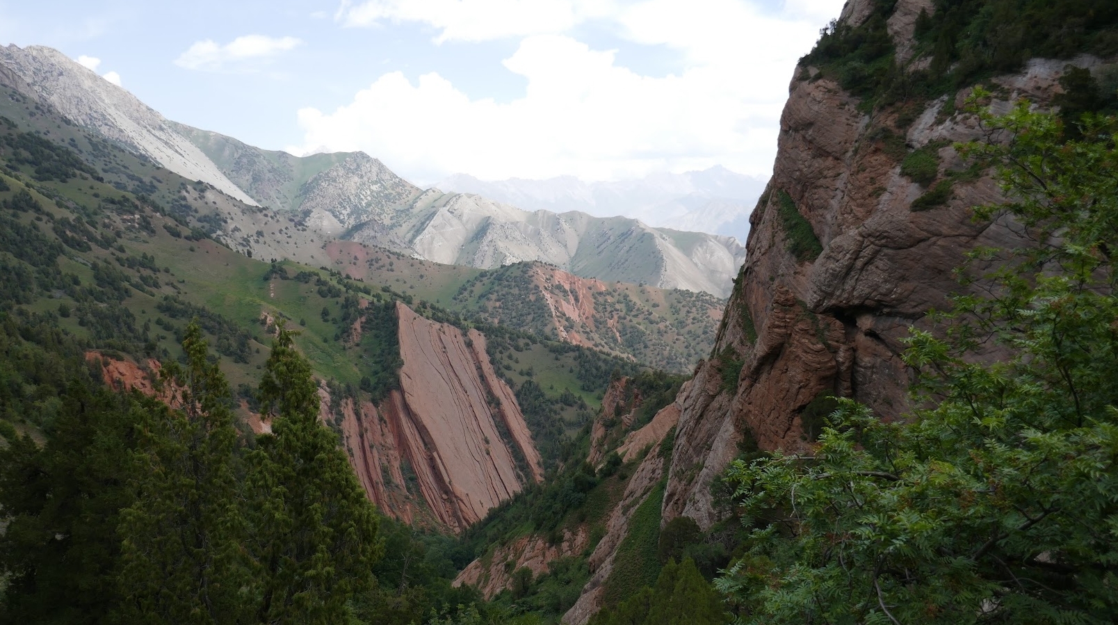
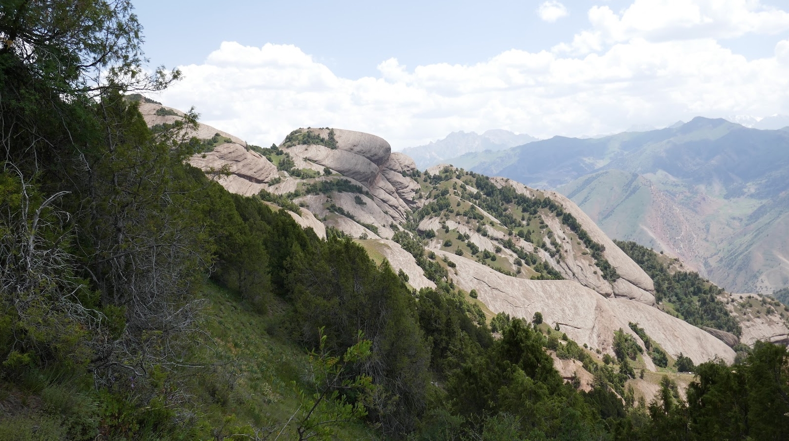
Another day where it feels like we are in a totally different place. Once again, the variety is a big plus for this trail.
The day is relatively easy without too much climbing. However, it starts to rain pretty hard around on hour before we reach our destination. We are pretty happy that we don’t stay in our tent tonight. Instead, we stay at the guesthouse in “Kojokolen” where we could (for the first time since Sary Mogul) get a warm shower.
More rain was predicted for the next day, so we decided to leave very early. Today is probably one of the least interesting days of hiking. You will walk on a dirt trail pretty much the entire time. I would recommend to look at it as a semi rest day.
The trail is easy, it’s only a couple hours of hiking. However, we had the idea of going a bit beyond the recommended Yurt stay, and sleep a bit higher up in our tent.
The place we ended up pitching the tent was actually surprisingly beautiful. It was right at the place where the dirt road started to disappear. However, yaks and yak shit was pretty much everywhere.
We enjoyed a very chill afternoon and a good night’s rest.
The following day it’s time to conquer the second-highest pass of the trail, Jiptick pass. Somehow there was barely any snow on Sary Mogul pass, but Jipitick pass is still very snowy. We didn’t mind and actually enjoyed the change of scenery. The snow definitely resulted in some amazing views.
At the beginning of the day we had beautiful weather. However, when we got close to the top we were iniside the clouds, sadly we didn’t get a nice view at the top.
A long descent eventually brings you to a Yurt camp. Most people decide to sleep here and finish the last part of the trail the next day. We still feel good and the sun is shining so we decide to simply keep on walking to Sary Mogul, which is another 3 hours from here.
The last part is not the most interesting and considering that we have already walked a pretty good distance today, I’m really happy when we eventually reach Sary Mogul, the end of the trail.
We absolutely loved it!
Who can hike the Heights of the Alay trail?
The trail is definitely not easy, but it’s not as hard as other blogs made it out te be (in my opinion).
We did this trail without a guide and don’t feel like a guide is really necesary. However, you do need to be well prepared. I also would not recommend hiking this trail without a guide if you are not experienced hikers. Don’t do this trail on your own, unless you really know what you are doing. Bring a map or at least a GPS trail on your phone. A satelite phone or a personal locator beacon is also highly recommended on these type of trails.
Navigating isn’t extremly diffiicult, but you are in a remote area. Also, some river crossings can be a bit tricky. Being able to see where other people crossed can be helpful.
The trail is phisically pretty demandinig from time to time, especially the Sary Mogul pass. However, Jiptick pass isn’t exactly a walk in the park eiher.
From a technical point of view the trail is actually not that difficult. Except for the part right before and after the Sary Mogul pass. Trekking poles are highly recommended.
I would say the trail is for experienced hikers if you intend to do it without a guide/porter. If you rely on a porter and a guide, the trail is doable for most people with a somewhat decent physique.
Day by day overview
Day 1: Trek from Sary Mogul Village over Sary Mogul Pass (4,306M) to Campsite
- Trekking Time: 7 hours
- Trekking Distance: 15 km
- Max Elevation: 4,306 m
- Total Gain/Loss: 1059 m+ / 859 m-
Day 2: Trek to Kosh Moinok Valley via Kyzyl Shoro Village
- Trekking Time: 7-8 hours
- Trekking Distance: 19.4 km
- Total Gain/Loss: 866 m+ / 1596 m-
Day 3: Trek to Kojokelen Village over Sarybell Passes
- Trekking Time: 5 hours
- Trekking Distance: 14 km
- Total Gain/Loss: 464 m+ / 1026 m-
Day 4: Trek to Jiptick Yurt Camp
- Trekking Time: 4 hours
- Trekking Distance: 10 km
- Total Gain/Loss: 835 m+ / 69 m-
Day 5: Trek to Yurt Camp at Darbazatash Valley over Jiptick Pass at 4,185 meters
- Trekking Time: 8 hours
- Trekking Distance: 16 km
- Max Elevation: 4,185 m
- Total Gain/Loss: 1150 m+ / 931 m-
Day 6: Trek Sary Mogul Village – Osh City
- Trekking Time: 3 hours
- Trekking Distance: 11 km
- Total Gain/Loss: 34 m+ / 286 m-
More information can be found here.
Lenin peak base camp/travelers pass trek
The hike to travelers pass is only a simple day hike, but the hike and the entire environment is absolutely gorgeous.
It’s probably the second most hike (except for the Sary Mogul pass hike) that I have done in South Kyrgyzstan.
It’s a bit of a pain to get there and you also need a permit (theoretically, I haven’t heard from anyone who actually got checked for a permit).
However, in my opinion, it’s all worth it.
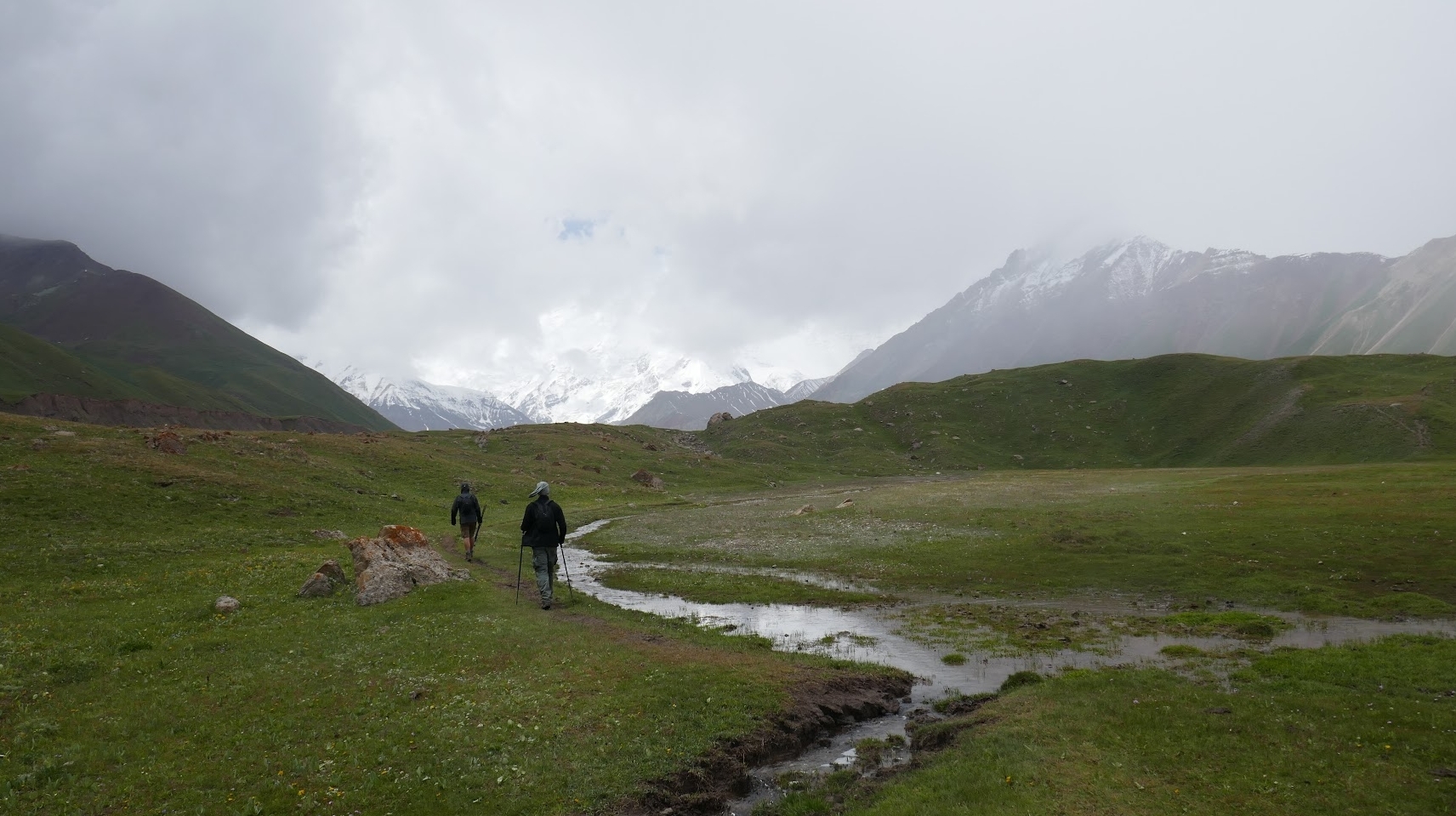
The trail starts a bit boring, it’s mostly flat and you follow a dirt trail as you pass basecamp.
Once you reach the mountains ahead, the trail gets more interesting. You pass a waterfall and after that you start to climb towards travelers pass.
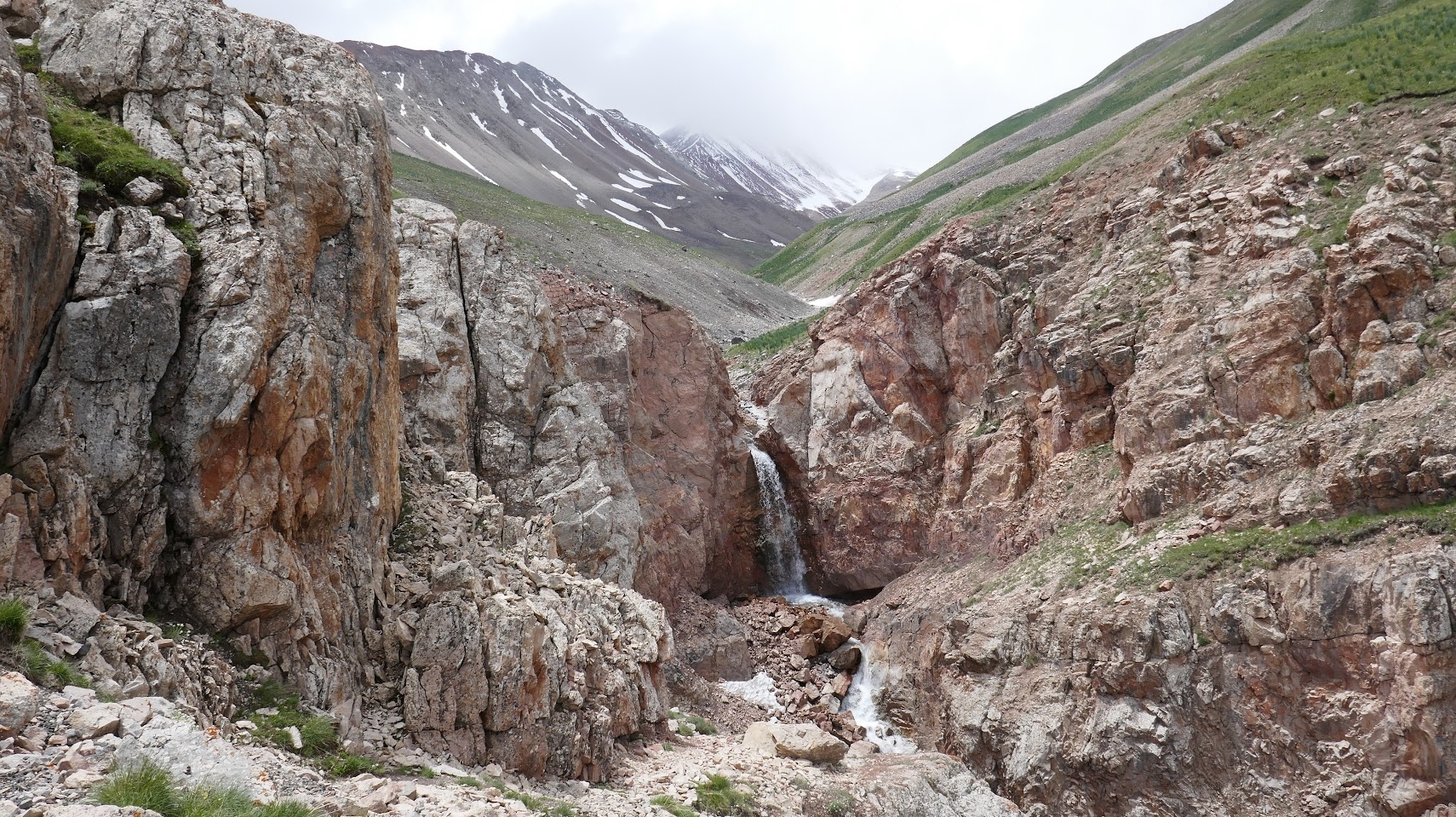
It’s all pretty straightforward and not very exhausting (in comparison to some on hikes in this article). But keep in mind that this trail brings you to altitudes above 4100m.
At the top, you will see some very nice views at both sides. If you are lucky with the weather, you can get a really nice view of Lenin peak.
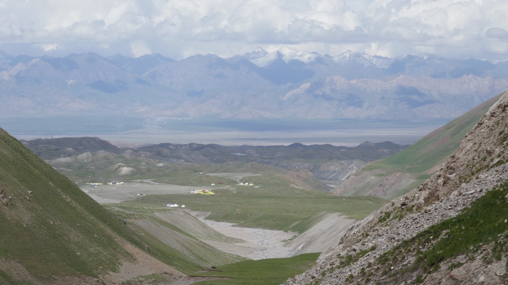
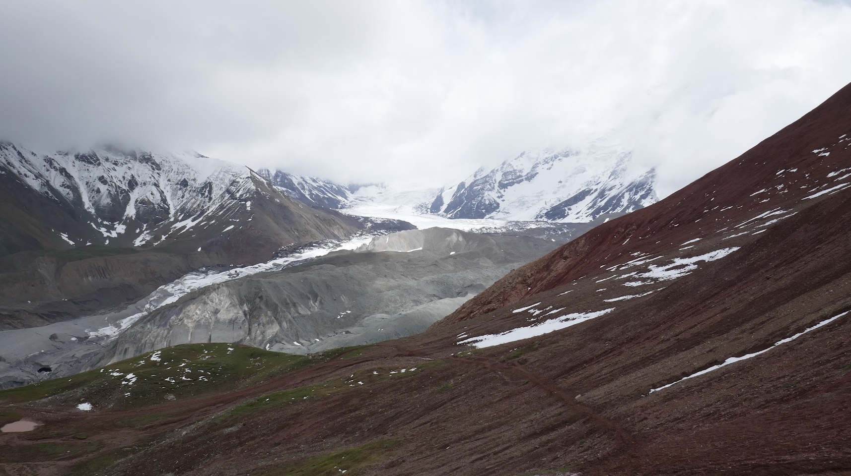
It’s an in-and-trail, so you have to walk the same trail back.
Spend a night at one of the many Yurt camps that are available and enjoy the sights over the mountains while night falls.
Scenic Ak tor trek
3 day trek
Max elevation: 3557m
Min elevation: 2367m
Distance: 40km
Season: June – October
Total Gain/Loss: 2372 m+ / – 2315 m
Trail description
We did the 2 day version (skipping the first day) of this trek as a warm-up for the heights of the Alay.
It’s a good idea to do this because it allows you to slowly get acclimatized. Also, it truly is a beautiful trek, even though it’s not as “epic” as the heights of the alay.
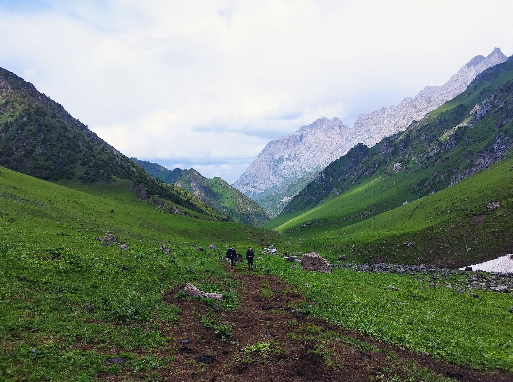
Except for the beautiful green mountainous scenery, you will also have the opportunity to sleep in Yurts with the locals or talk with people who come here on their holiday.
Even though you will pass some places where there are a lot of people, for the most part of the trail you will be on your own.
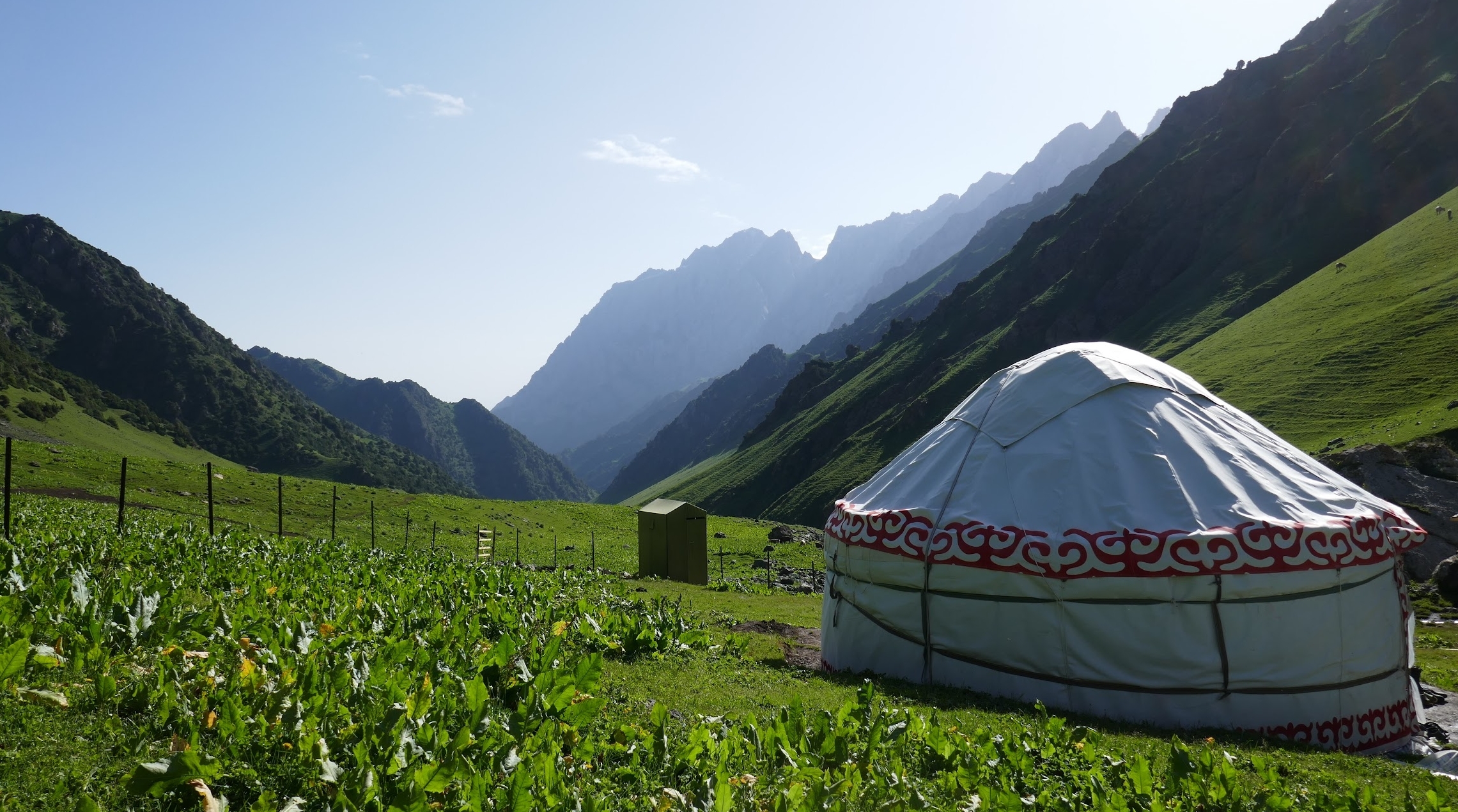
If you prefer to sleep in your own tent, camping is definitely a possibility on this trail. Just be aware that on the steeper parts of the descent/ascent, it might a bit tricky to find good camping ground.
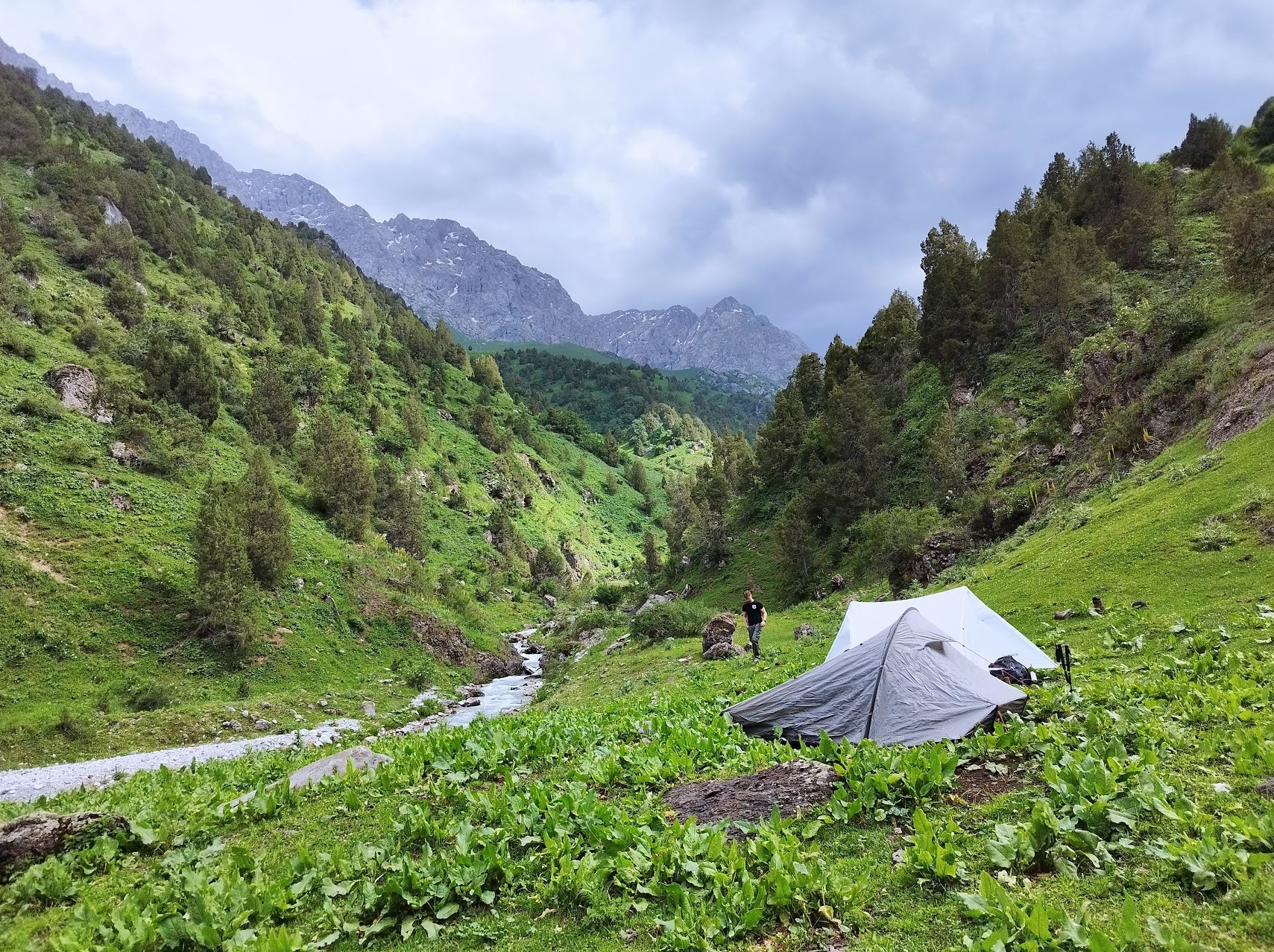
Both our hiking days took around 6 hours or so, since these are our first hiking days, it does sometimes get a bit difficult. However, objectively speaking, this trail isn’t extremely demanding. That said, if you need to arrange transport at the pickup point and you don’t have the best physique, give yourself some spare time.
The trail isn’t very technical, and also navigating generally isn’t that hard. Only the descent on the last day, navigating was a bit difficult. We only had to follow the river, but the trails next to the river kept disappearing/appearing out of nowhere.
We also had to cross a bridgeless river once in a while (I think 3 times), however, that might have been changed by now.
We didn’t rush ourselves, but we also didn’t go very slow and it took us 6 hours to go from the Yurt camp where we slept, to the Yurt camp where we would be picked up.
All in all, I would highly recommend this hike, it’s especially a great warm-up for the heights of the Alay. However, if I had to choose between this hike and heights of the Alay, the choice would still be highly in favor of heights of the Alay. While this hike is very nice, it can’t compete with the incredible, epic views you get when hiking the heights of the Alay.
Who can hike the Scenic Ak Tor trail?
The trail is not technical, but you do need to make a few river crossings. These crossings are never too difficult or dangerous, but trekking poles are still recommended.
You need a decent physique for the climbs, but you don’t need to be an athlete. Even with a poor physique, you will get there eventually, but keep in mind that you will go slower.
The altitudes you will reach on this trail are close to being in the risk of dealing with altitude sickness. Normally, it shouldn’t be an issue as you will only be at these altitudes for a short time and you will never sleep at these altitudes.
I would highly recommend bringing some sort of device for navigation, as it’s easy to lose the trail on the last day.
Day by day overview
Day 1: Trek to Sary Oi yurt camp over Kumbell Pass at 3154 m
Trekking time: 5 hours
Trekking distance: 15 km
Max Elevation: 3140 m
Min Elevation: 2283 m
Total Gain/Loss: 857m+ / 895m-
Day 2: Hike to the foot of Ak Tor Pass
Trekking time: 5 hours
Trekking distance: 13 km
Max Elevation: 2912 m
Min Elevation: 2204 m
Total Gain/Loss: 856m + / 227 m-
Day 3: Trek to Murdash Valley over scenic Ak Tor Pass
Trekking time: 6 hours
Trekking distance: 12,5 km
Max Elevation: 3557m
Min Elevation: 2385m
Total Gain/Loss: 658m+ / 1183m-
What to expect from the alay mountains
If you are still unsure whether South Kyrgyzstan and the alay mountains are the right choice for you, let me dive a bit deeper in what you can expect.
First, expect beautiful nature with a lot of variaty. A mix between green and peaceful areas and epic, dangerous looking mountainais views. We loved it!
You can also expect to explore the culture. You have many opportunities to sleep in Yurt camps, talk with locals, eat the local food, see the locals working, etc. The people here are incredibly friendly.
If you are looking for more trails in the alay mountains I would recommend checking out the official visit alay site.